Trip to Huntington and Arches with Dan and Bethani
I’m a murderer. A mur-diddly-urgler.
Well, that’s how I feel sometimes after underestimating the desert. But let’s not get too far ahead! Let’s go back to August 4th.
With my sister and her husband visiting us from California, the time was right to get out to the red rock. Dan hadn’t ever had the chance to see it, and Bethani hadn’t been to Huntington in many years. For those who aren’t aware, Huntington, UT is where I lived until I was 8 years old. My dad taught at the LDS seminary there (and did about 40 other jobs as well). And since we weren’t able to make the trip to Seattle this year, I thought that the children could use an adventure. So we loaded selected children (those I figured could do some hiking) into the Sienna and headed south and east.
Avoiding death on US-6 (there’d been a landslide that closed the road a couple of days before, and it’s a notorious route anyway), we made good time out to Huntington. For those of you not familiar with this place, you turn south when you hit Price. It’s a remote little dusty town of about 2000 souls, and sadly, it’s probably best known for mining accidents. (See the Wilberg Mine and Crandall Canyon Mine).
Here’s a picture of the seminary, where my father was principal, teacher, janitor, and landscaper: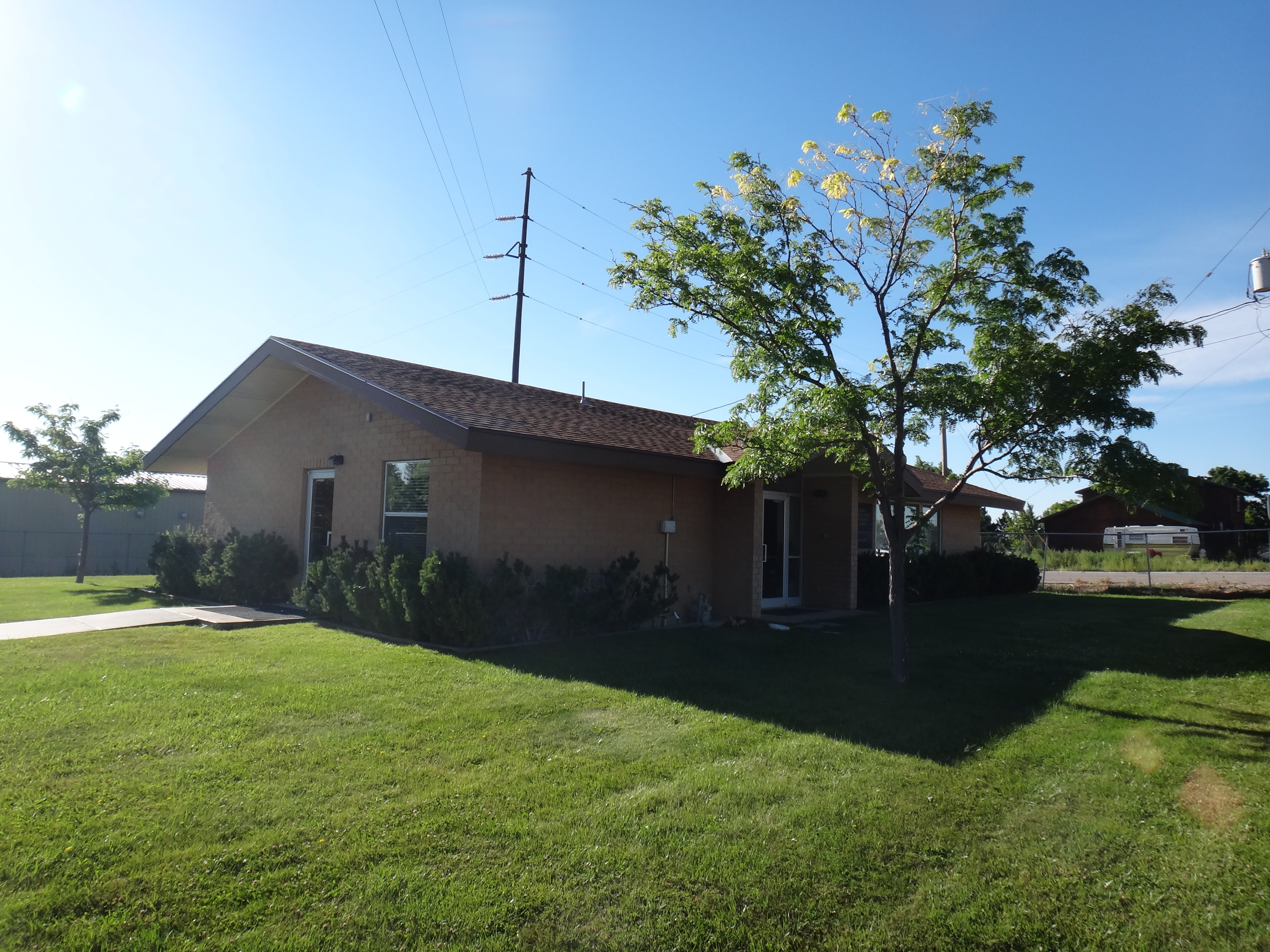
And the house where I lived: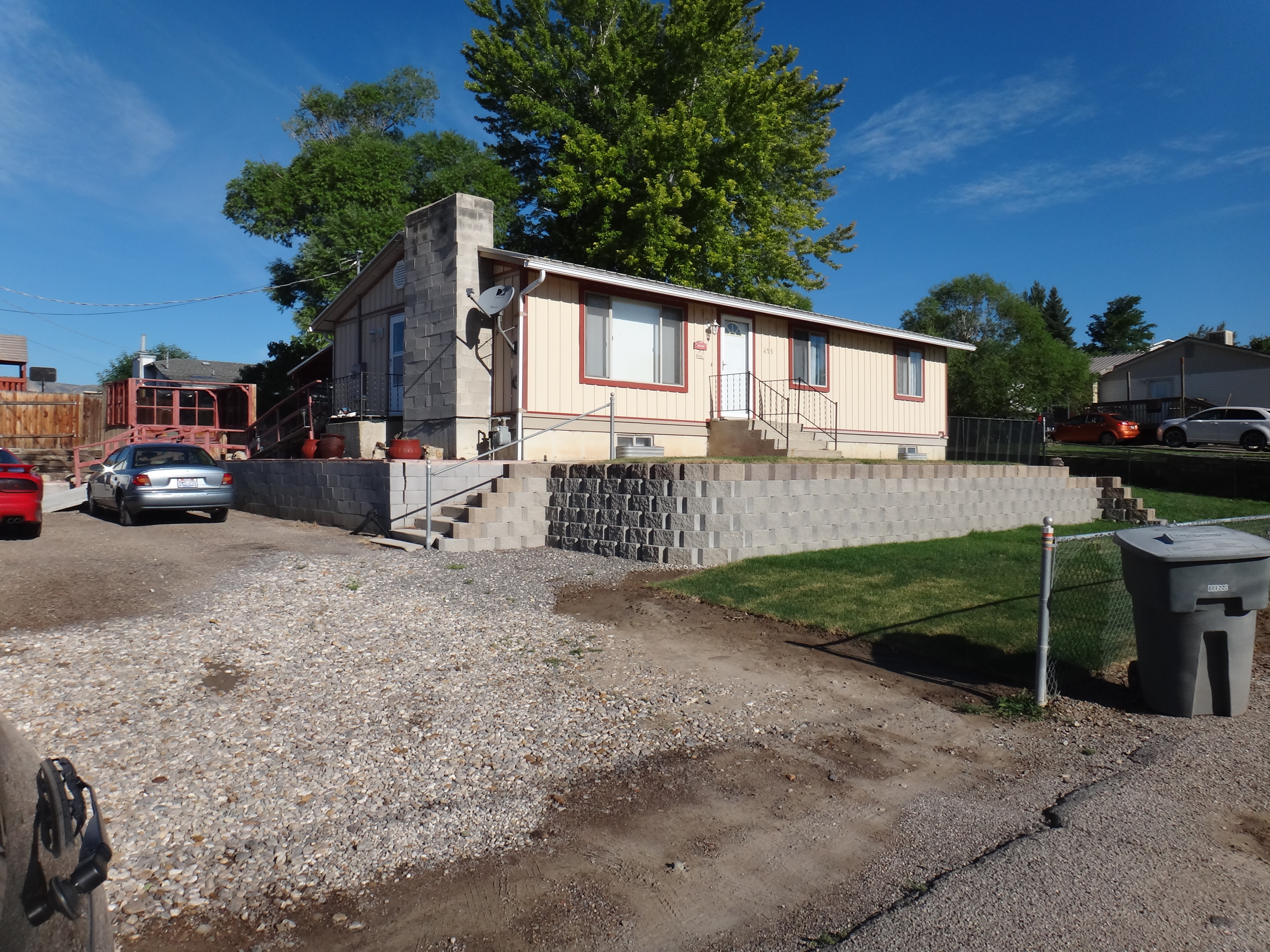
Almost all my memories come from 1984 and 1985, which was when I had a few friends and knew how to ride my bike. So I can remember riding my bike to school, or to the seminary to see my dad, or to the library, or to get candy at the convenience store. I remember the holidays at the end of 1984 with my friend, whose dad was lost in the Wilberg Mine. Huntington is a funny town. Moving to Orem was probably the best change for a boy like me, but Huntington left positive marks too. Dan was amused that it’s literally a one-stoplight town.
From Huntington, you can drive east into the San Rafeal Swell. This area is one of the weirdest places I’ve ever been; it’s all alkaline desert broken up with spires and canyons of sandstone. It’s a very quiet place; the Swell is remote and inhospitable, so you generally won’t see many other people (I hope it stays that way!). The first stop for any trip I make out to the Swell is the Wedge. Pictures are better than words (click through for the panoramas – I think they look nice):
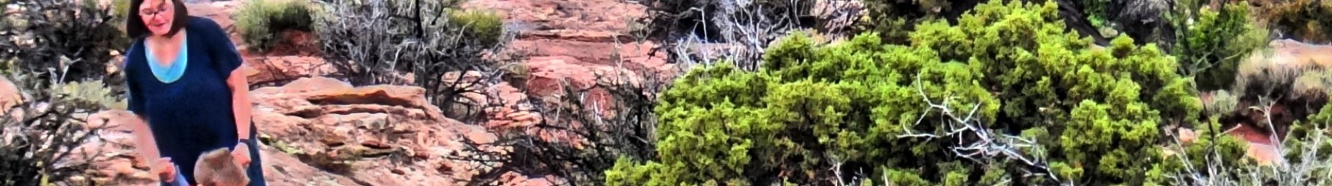
Charlotte maybe a little closer to the edge than I liked: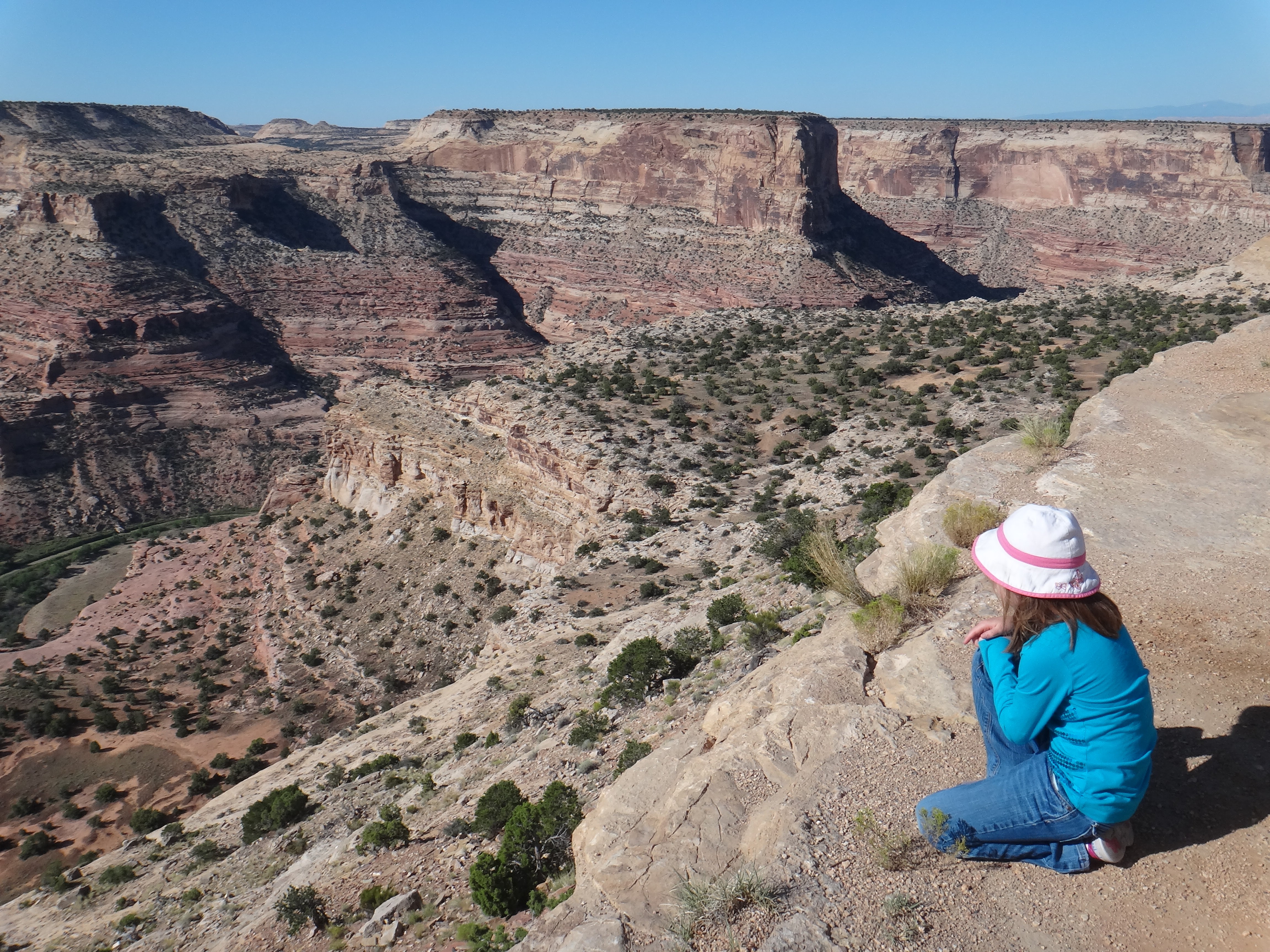
Nicole explaining her sunglasses to me (“They have Elsa and Anna on them.”)
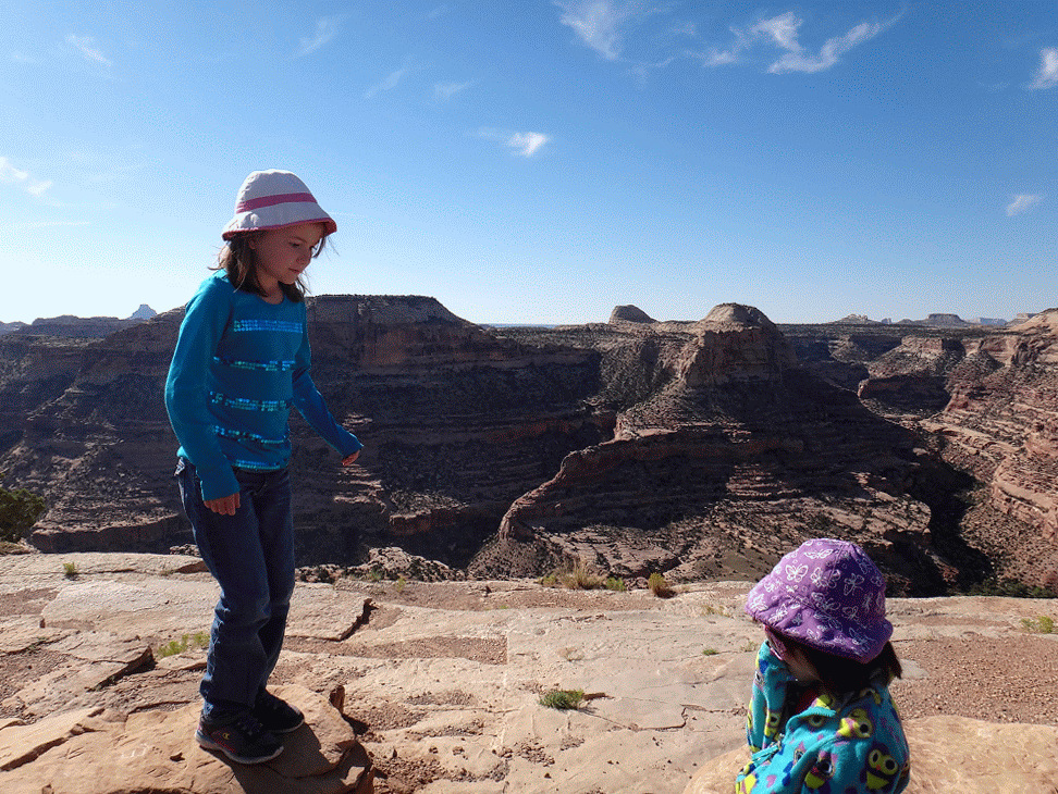

It’s not a particularly deep gorge, like you’d see at Dead Horse Point, but it’s so much the right size that it’s more comprehensable than Dead Horse Point or the Grand Canyon. There’s an intimacy to the place that’s hard to describe. And again, there’s the quiet. Usually, it’s just the sound of the wind in the scrub cedars behind you as you look.
From the Wedge, I like to come back around through Buckhorn Draw. On one of the cliff walls there, you’ll find one of the largest and most detailed panels of petroglyphs and pictographs from the ancient people who lived there. There’s been a little bit of vandalism, sadly, but the fact that it’s so remote helps to keep things less disturbed. Some pictures: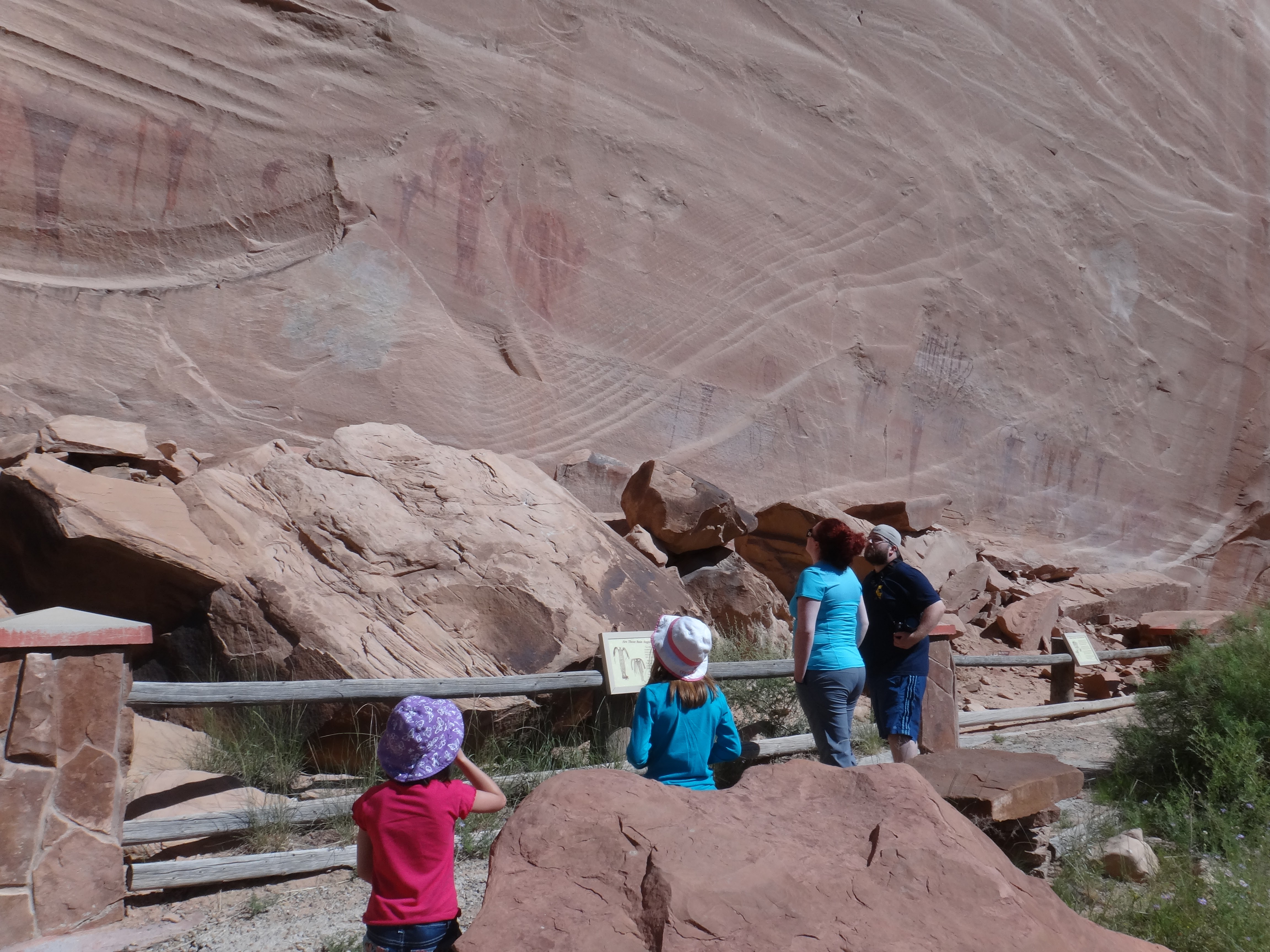
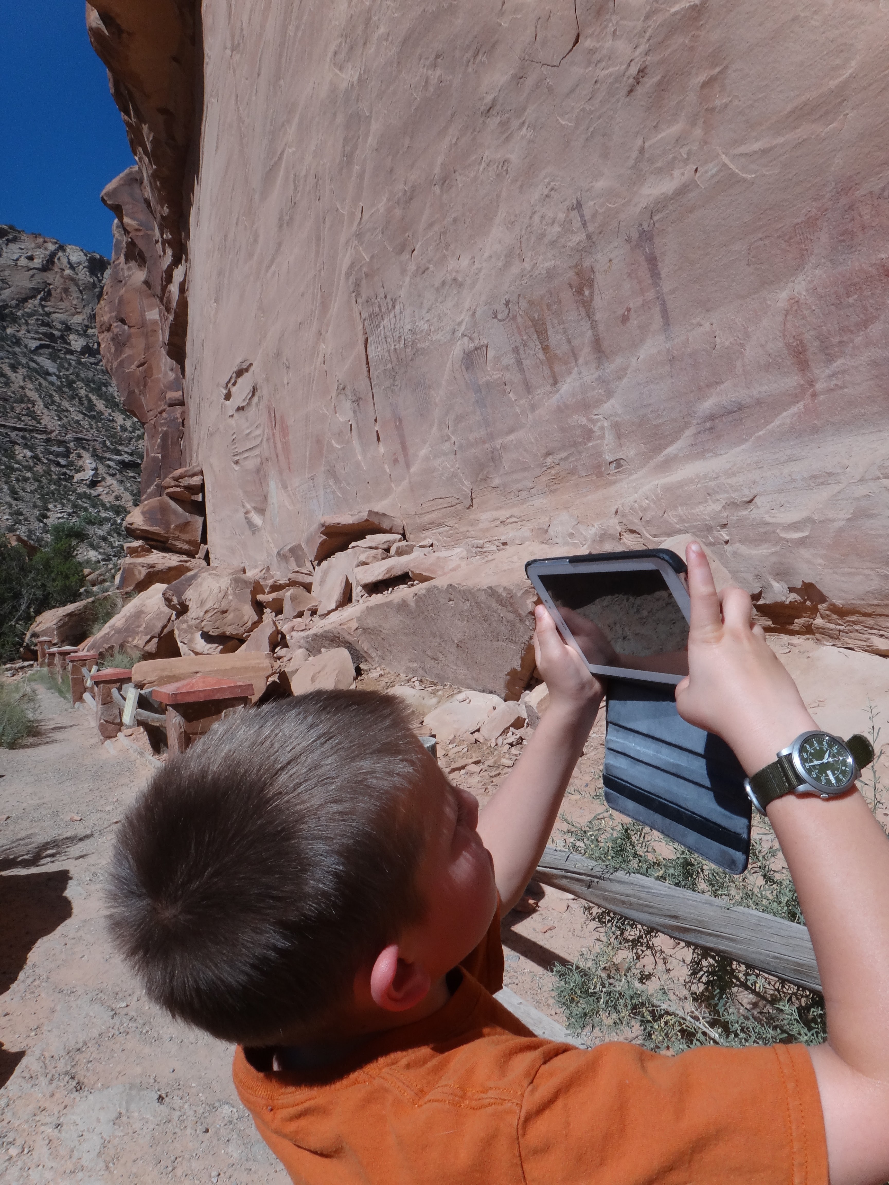
I can’t guess what these images mean; obviously, something important enough that many different generations of artists made their mark here. The San Rafeal river was running, and it was very muddy; all the rain in the prior days was washing down extra sediment. After some time talking and thinking about the pictographs and some lunch, we carried on through the Swell.
Continuing south and east, we drove the Buckhorn Draw road out to I-70. From there, it’s just a quick freeway run to the turn-off for Moab. This stretch of I-70 features the dramatic drop off the east slope of the Swell; it’s dramatic, beautiful, alien country. Around 1 PM, we arrived at Arches National Park. Pit stops at the visitor’s center, and then we headed up to the Windows and Double Arch. Some pictures. First, North Window: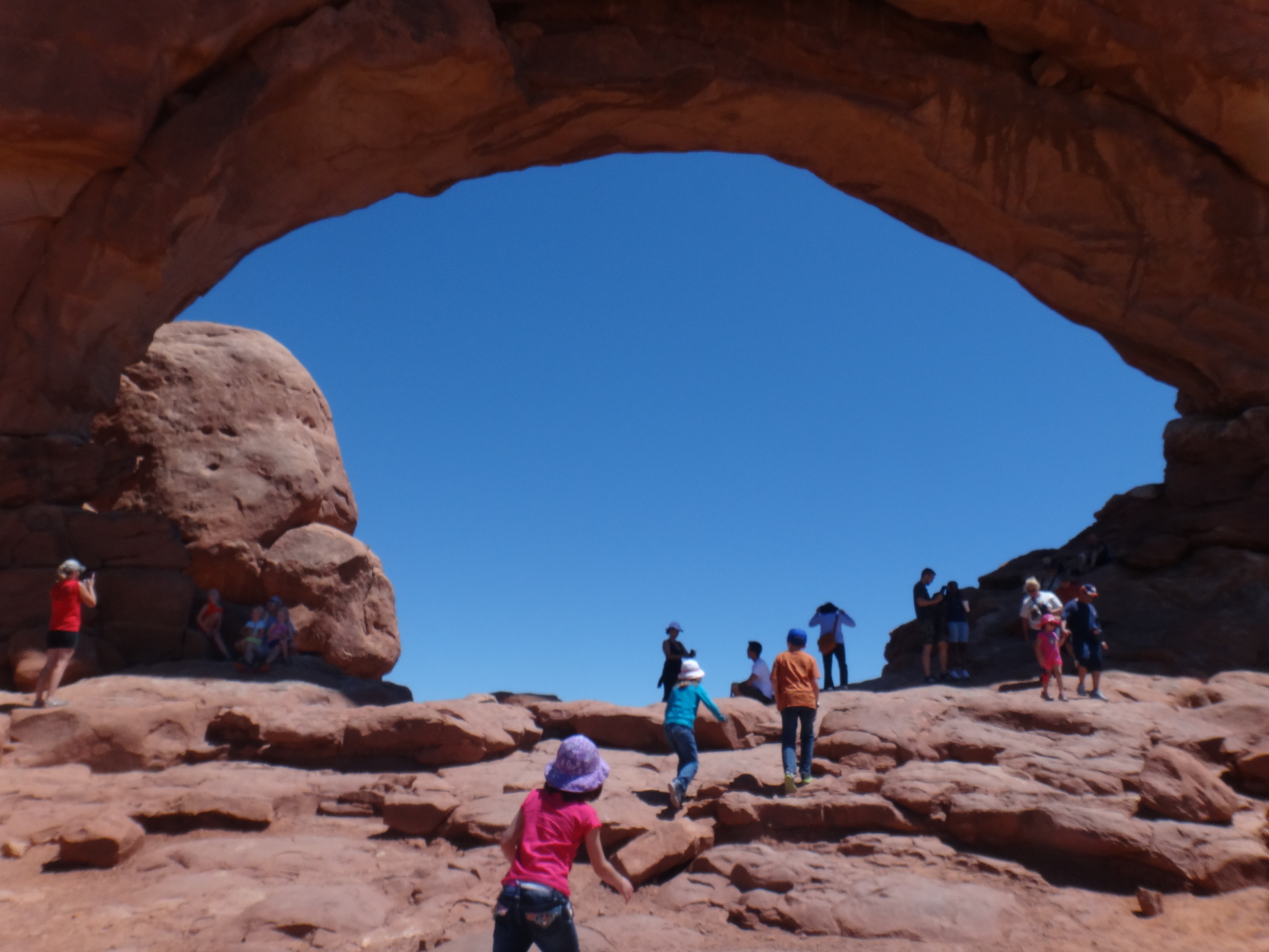
That’s Turret Arch in the background:
This is the kids climbing up into Turret Arch (gives you a nice sense of the scale):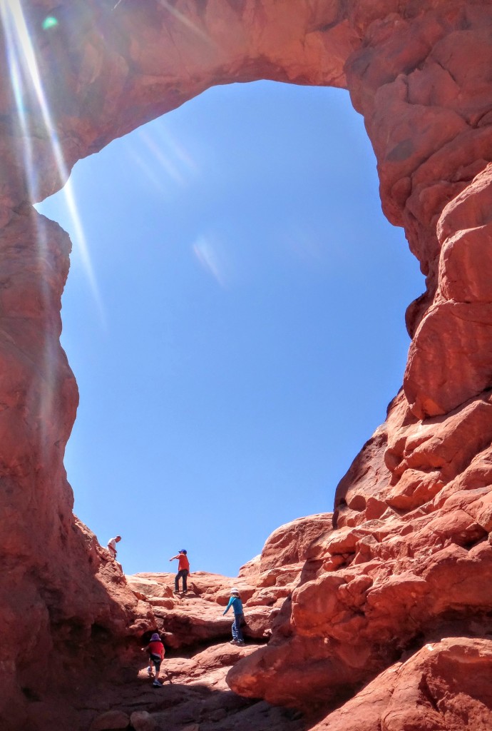
Charlotte was feeling hot and sick after walking up to the Windows and Turret Arch, so she and I waited in the car and cooled off while Dan and Bethani took Isaac and Nicole up to Double Arch. One thing I’ve had trouble teaching children: when you’re climbing on rock, it’s usually easier to go up than come down. Luckily, Dan and Bethani kept an eye on them, and there are lots of nice folks around who are willing to help children showing signs of poor judgement.
Once we got everyone back to the van, we headed up to the Delicate Arch trailhead. (Nicole was still learning to use her pole; don’t drag it, child!)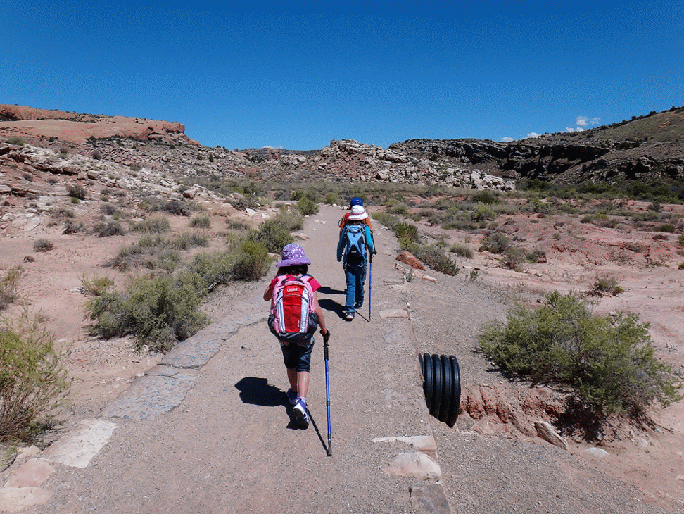
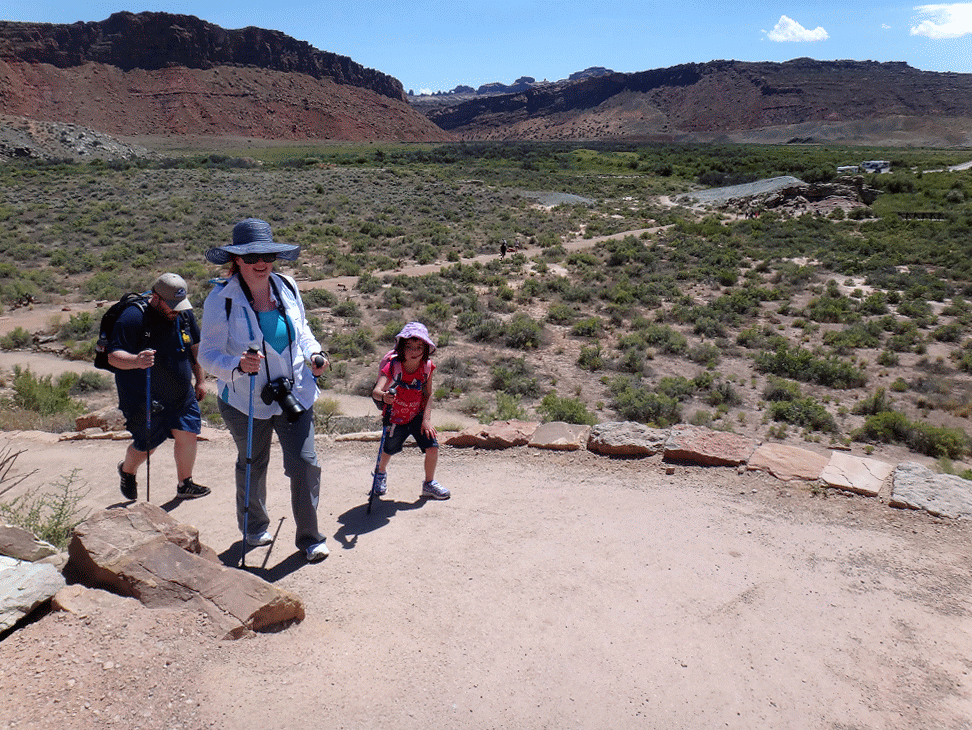
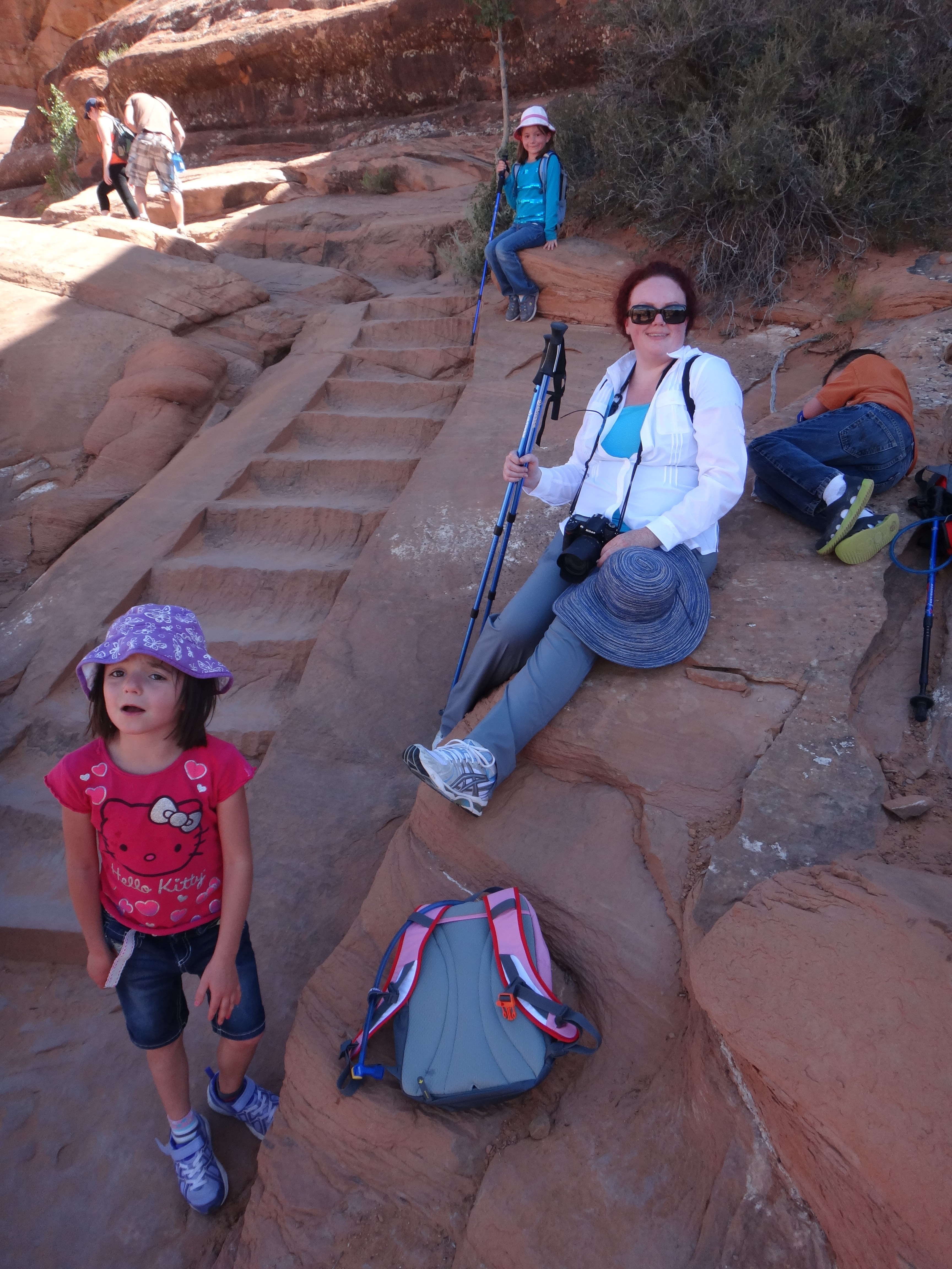
Here’s where I miscalculated. For some reason, I always think this hike is shorter than it is, and then I don’t always think about the heat. We brought plenty of water for everyone, but the exertion in the heat took its toll. Isaac and Nicole were feeling sick, and Charlotte, though she was feeling better than before, was stubbornly cheerful in spite of not feeling well. Isaac kept wanting to stop and rest. For those of you that have done that hike, there’s just no shade for most of the way up, and I didn’t want him lying on the slickrock in the sun. So I’d have them take short breaks, drink more water, and then keep walking. In one of those moments where one isn’t sure they’re cut out for parenthood, Isaac puked up all the water he’d been drinking. By that point, we were at least 2 miles up, so I encouraged him to keep moving (and to keep drinking water anyway). Nicole was feeling hot and worn out too. As soon as we turned the corner to where there was some shade, I let them rest:
Then we went on up to the Arch, which was just a short distance by then. I was quite pleased with how the children worked through being hot and sick and kept on going. Nicole made a funny comment about this being “the main part of Utah”. She get’s that because it’s on all the license plates, I guess. Everyone was a little worn out for pictures: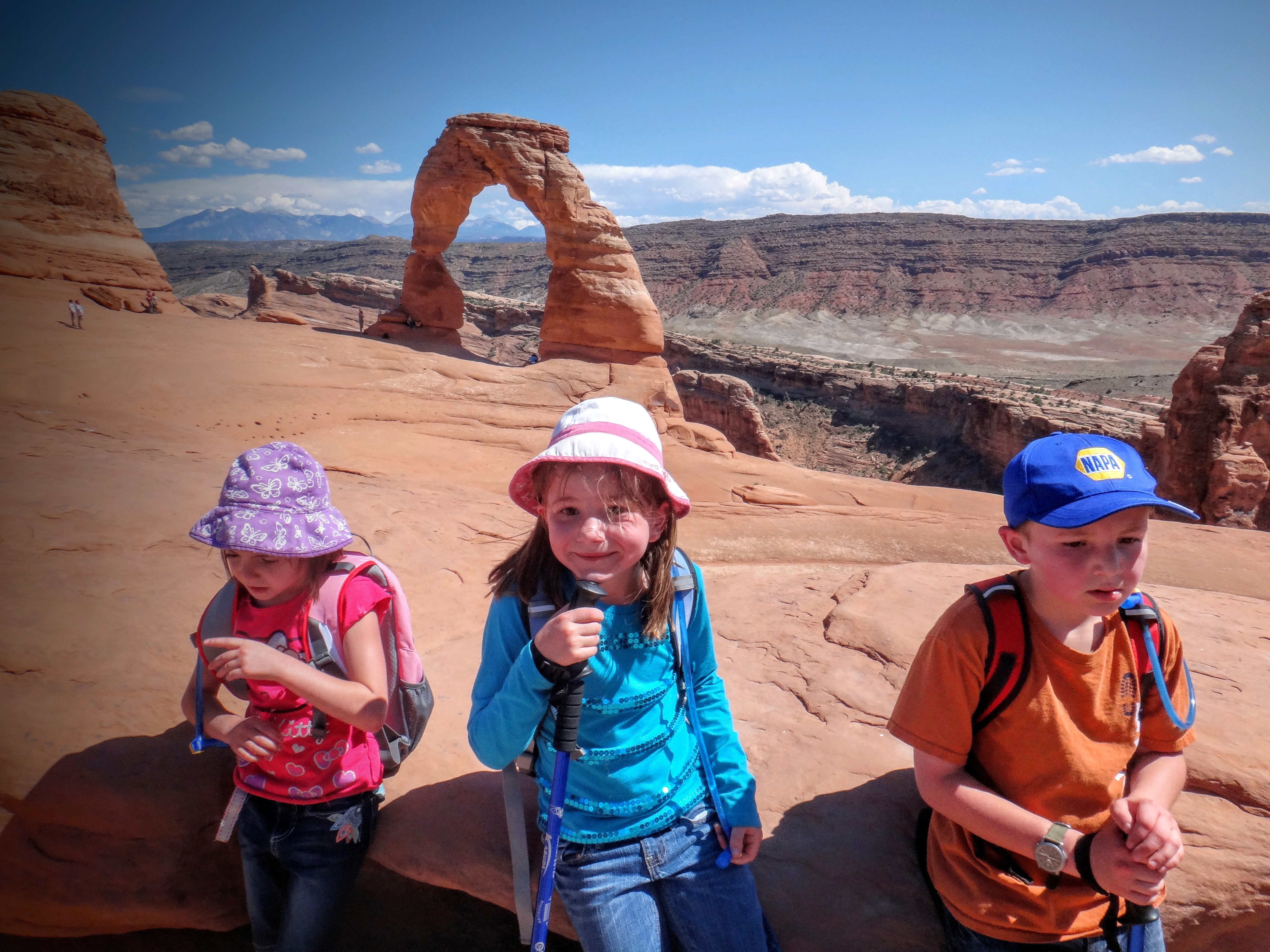
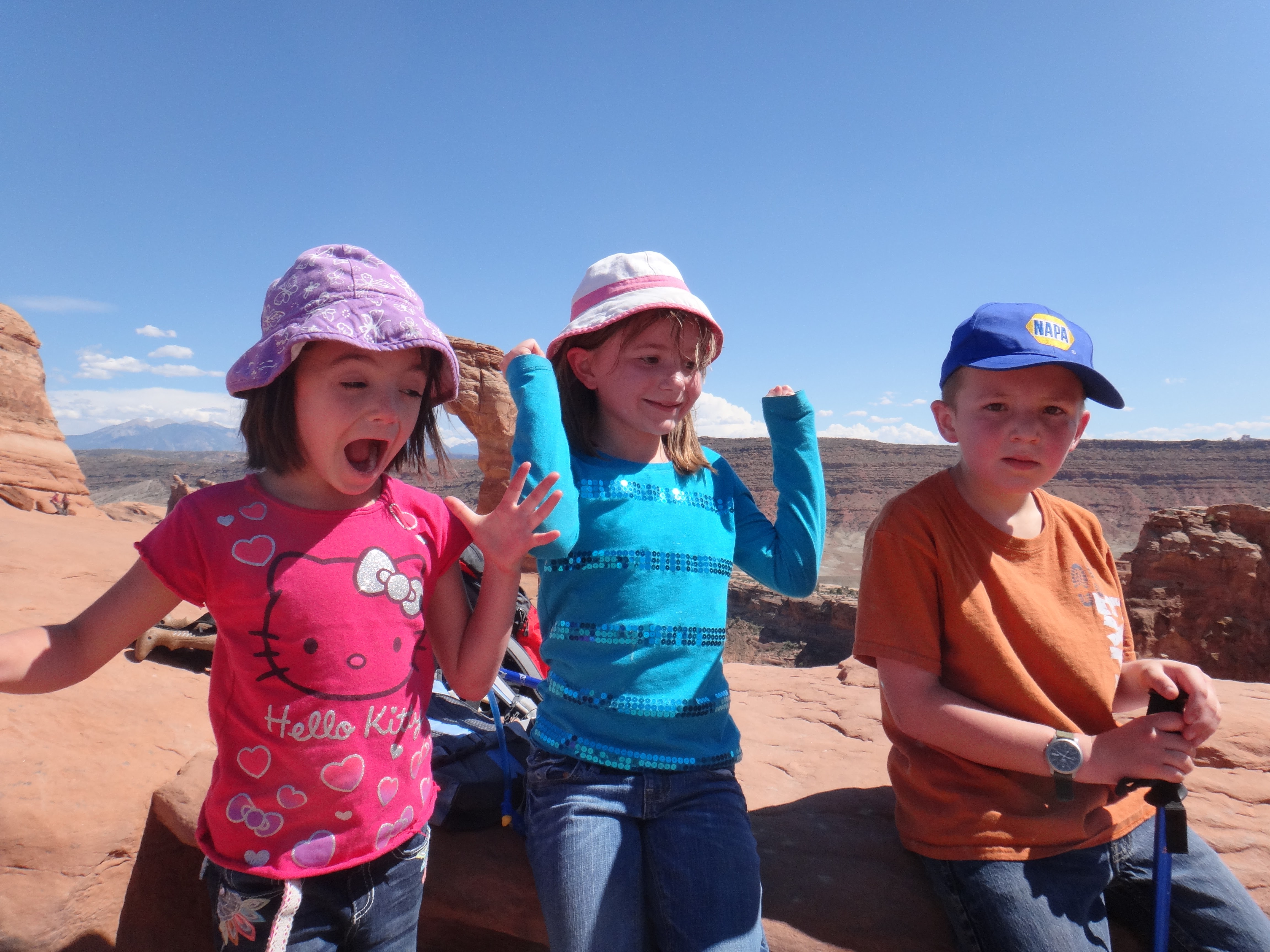
Here, I’ve asked them to try to look as miserable as possible:

And here, look as happy as possible (notice Isaac still looks miserable):
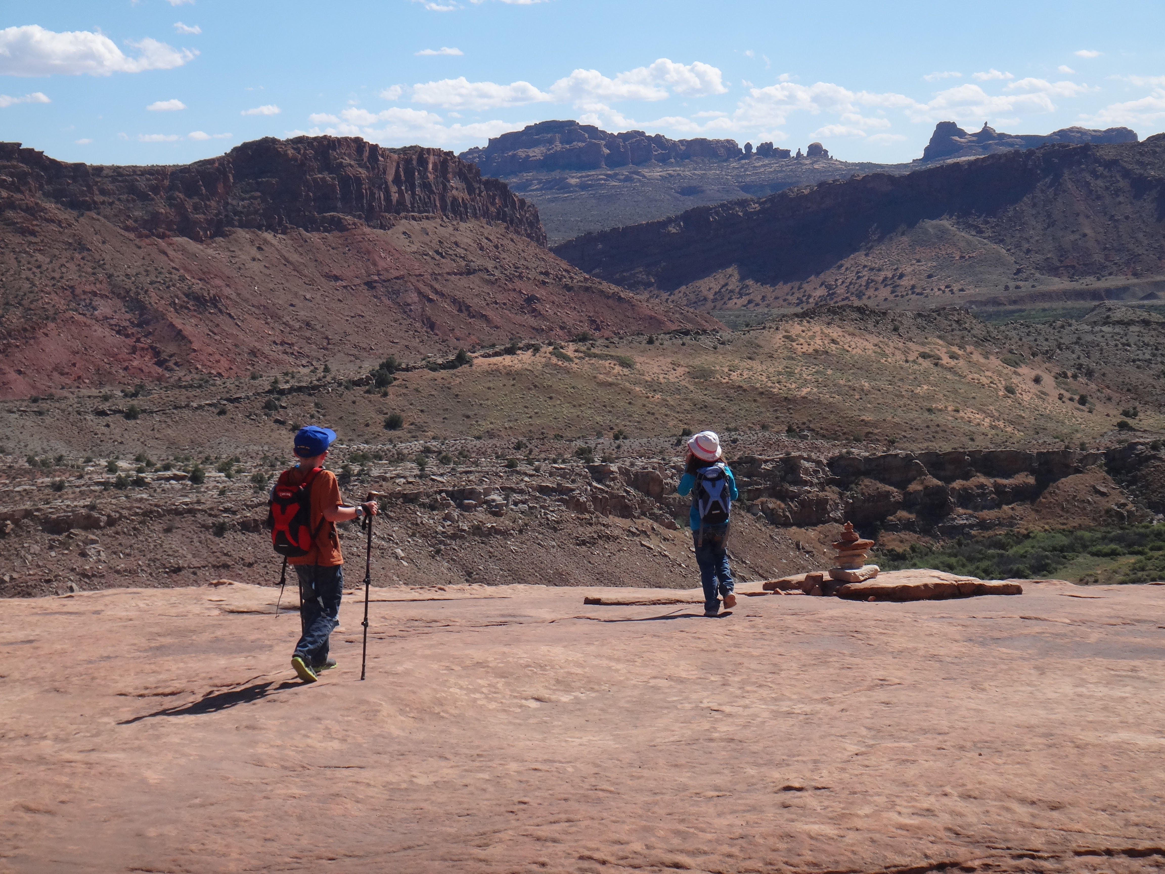
Even though I took pictures for a bunch of other people, I forgot to ask someone to get a picture of me with the kids. Hilarious moment of the hike (for me): I mentioned to Isaac that I could probably only carry one of the kids down. He thought for a second, and then said, “Maybe Aunt Bethani will carry Nicole.” Yeah, if it had been an option, Isaac would have taken a ride down. As it happened, the hike down for me and the kids went quickly, and they did very well.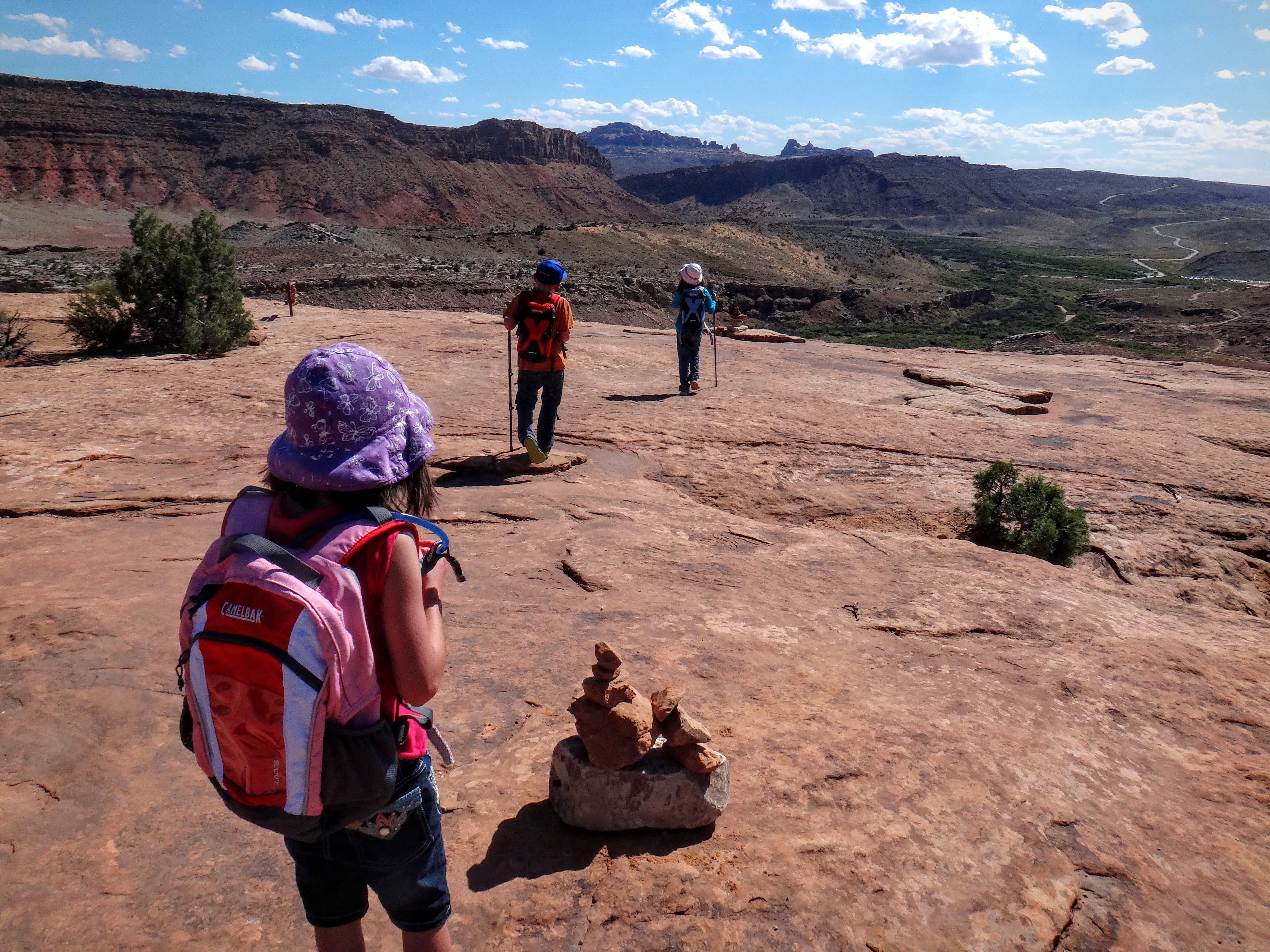
Now, here’s where the murder comes in. That heat (it was over 100, and the slickrock just reflects it back on you) was really hurting Dan. Up ahead on the way down with the kids, I didn’t know how bad Dan was feeling. Smarter me should have spotted heat exhaustion when we were all up at the Arch. After I’d been back at the van with the children for about thirty minutes, I started to get worried. I was watching the trail with my little monocular to see if I could spot them coming over the last rise, and when I spotted them, I told the kids to stay put while I ran some ice water up. Dan was really suffering, but he’s such a good sport. By the time we were all the van and getting cooled down, it was after 5:30, so we figured that was enough adventure for one day. For the trip home, we let the kids watch “Indiana Jones and the Last Crusade”, since many of the opening scenes were filmed in Arches National Park. All in all, it was a great trip, and a great chance for Isaac, Charlotte, and Nicole to spend time with Bethani and Dan.